


GPS Utility - Windows 8 Downloads

GPS Utility 5.51
Discover the ultimate GPS companion! GPS Utility for Windows 8 is a powerful software that seamlessly integrates with your device, providing accurate navigation and tracking. Enhance your outdoor adventures with ease and precision.
GPS Utility 5.51 - Key details
| License: | Demo |
|---|---|
| Price: | $60.00 |
| File Size: | 2.30 MB |
| Released: | Aug 19, 2023 |
| Downloads: | Total: 1020 | This Week: 0 |
| Keywords: | Waypoint Manager, mapping tool, waypoint management, GPS Utility, Digitise, data transfer, GPD, Digitise GPS, GPS Utility Ltd., route planning, Waypoint, GPS Receiver, GPS software, software review |
| Author: | GPS Utility Ltd. |
| Author URL: | https://www.gpsu.co.uk/ |
  |
Windows 8 Downloads - GPS Utility awards


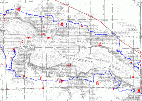
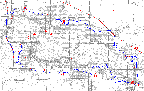
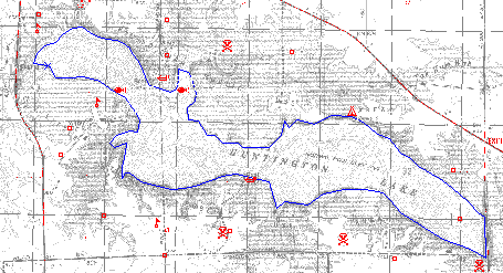
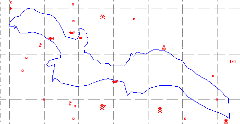
GPS Utility - Screenshots
GPS Utility - Full description
Welcome to the ultimate destination for GPS enthusiasts! Discover the remarkable "GPS Utility" by GPS Utility Ltd. This powerful software revolutionizes your Windows 8 experience, offering seamless navigation and precise location tracking. With its user-friendly interface and extensive features, it's a must-have for adventurers and professionals alike. Download now and unlock a world of endless possibilities!
GPS Utility for Windows 8 - Post your review
GPS Utility Windows 8 related downloads
... is a full-featured computer mapping and GIS analysis utility that provides a rich set of tools and advanced options for ...
TNTatlas is a powerful free geodata viewer that lets you publish and distribute your maps and geospatial data — from a ...
... IGES. The solution not only provides error free data transfer between the two programs but also an enhanced workflow for ...
... IGES. The solution not only provides error free data transfer between the two programs but also an enhanced workflow for ...
... Volume, Weight, Area, Speed, Time, Data Storage, & Data Transfer speeds * Floating Point, Fixed & Auto Decimal Tax Button ...
JAG3D is a tool to estimate geodetic 1d, 2d and 3d-networks by a least-square-adjustment called Gauß-Markov-Model. Moreover, the software supports deformation-analysis. ...
Depthmap is a single software platform to perform a set of spatial network analyses designed to understand social processes within the ...
GEOPoint is an easy to use satellite antenna pointing calculator, for geostationary communications satellites. It calculates the azimuth and elevation pointing ...
... in order to use them for tracking the GPS devices. The program allows you to import a map from a ...
... ultimate mapping software for Garmin, Magellan, and Lowrance GPS owners. ExpertGPS displays your waypoints, routes, and tracks on USGS topo maps and ...
Windows 8 Coupons
-
MacX MediaTrans
63% Off -
IObit Uninstaller
40% Off -
MacX DVD Video Converter
58% Off -
EaseUS
20% off -
IObit Software Updater
40% Off
Saved Downloads
You have not saved any software.
Click "Save" next to each software.
Click "Save" next to each software.
Would you like to receive announcements of new versions of your software by email or by RSS reader?
FREE Registration Here!